fbpx
Live Chat
FAQ's
MENU
Click on Drop Down for Current Affairs

Geography(Available both in English & हिंदी Language).

The geography of India is extremely diverse, with landscape ranging from snow-capped mountain ranges to deserts, plains, hills and plateaus. India comprises most of the Indian subcontinent situated on the Indian Plate, the northerly portion of the Indo-Australian Plate. Having a coastline of over 7,000 km (4,300 miles), most of India lies on a peninsula in southern Asia that protrudes into the Indian Ocean. India is bounded in the southwest by the Arabian Sea and in the southeast by the Bay of Bengal.
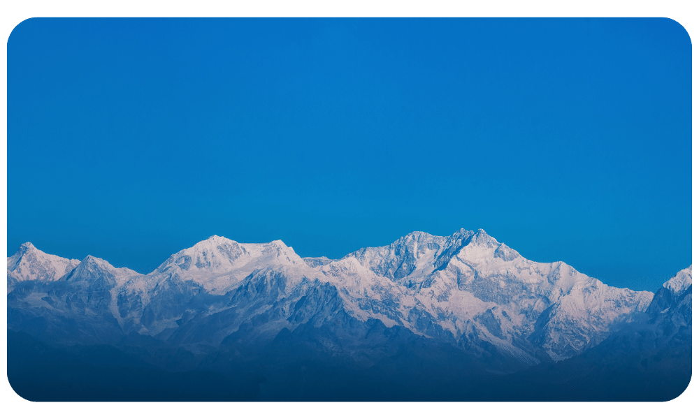
The fertile Indo-Gangetic plain occupies most of northern, central and eastern India, while the Deccan Plateau occupies most of southern India. To the west of the country is the Thar Desert, which consists of a mix of rocky and sandy desert. India’s east and northeastern border consists of the high Himalayan range. The highest point in India is disputed due to a territorial dispute with Pakistan; according to India’s claim, the highest point (located in the disputed Kashmir territory) is K2, at 8,611 m (28,251 feet). The highest point in undisputed Indian territory is Kangchenjunga, at 8,598 m (28,208 feet). Climate ranges from equatorial in the far south, to tundra in the Himalayan altitudes.


India is bordered by Pakistan, the People’s Republic of China, Bangladesh, Myanmar, Nepal, Bhutan and Afghanistan. Sri Lanka and the Maldives are island nations to the south of India. Politically, India is divided into 28 states, six federally administered union territories and a national capital territory. The political divisions generally follow linguistic and ethnic boundaries rather than geographic transitions.

Feeling the Heat: Why Do We Get Heatwaves?

Ever felt like you’re living in an oven? That’s a heatwave! These scorching stretches of super hot weather aren’t just uncomfortable, they can be dangerous too. But why do they happen?   Imagine the sun like a giant lamp and Earth like a giant rock. Normally, some of the sun’s heat bounces back into space, […]

Read Full

Why is the ocean salty, but rivers flowing into it are not?

Have you ever wondered why the ocean has a distinct salty taste, while the rivers that flow into it do not? It’s an interesting phenomenon worth exploring.   The ocean’s saltiness is influenced by various natural factors and processes. The entry of river water into the ocean is one of these contributing factors.   At […]

Read Full

Why do earthquakes happen so often in Afghanistan?

  Where Afghanistan is located geologically?   Afghanistan is located in a region where multiple tectonic plates come together. These plates are: To the north, there is the Eurasian Plate. The Eurasian Plate is known as the largest and heaviest tectonic plate on Earth. It spans across a large portion of Europe, Asia, and the […]

Read Full

How were the Himalayas formed?

The Formation of the Himalayas:   Introduction The Himalayas are one of the most famous and beautiful mountain ranges in the world. They cover more than 2,400 kilometers in Asia. They are also one of the newest mountain ranges, having only been made a few million years ago.   How the Himalayas Came to Be: […]

Read Full

Why Geography is important: Key Points for Competitive Exams

Geography, often relegated to maps and memorization, is a surprisingly powerful tool for conquering competitive exams. Here’s why it deserves your attention:   1. Exam Relevance:   Current Affairs Context: Many exam questions link current events (climate change, political disputes, resource wars) to their geographical underpinnings. Understanding locations, resources, and historical context provides a deeper […]

Read Full

examlife.info